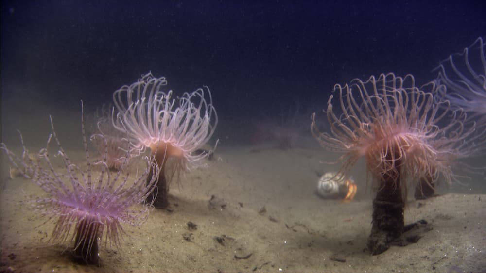
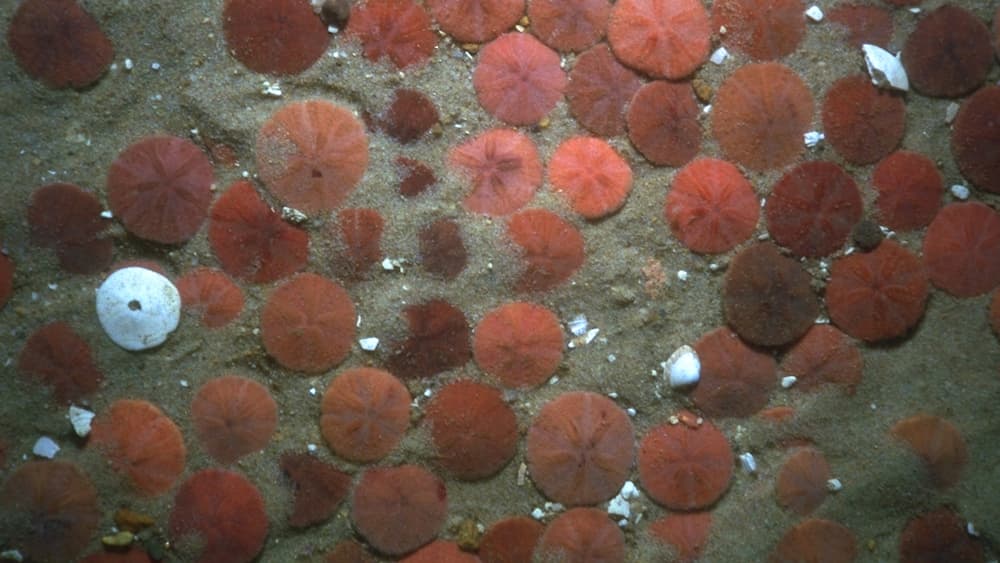
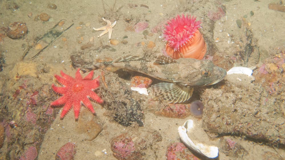
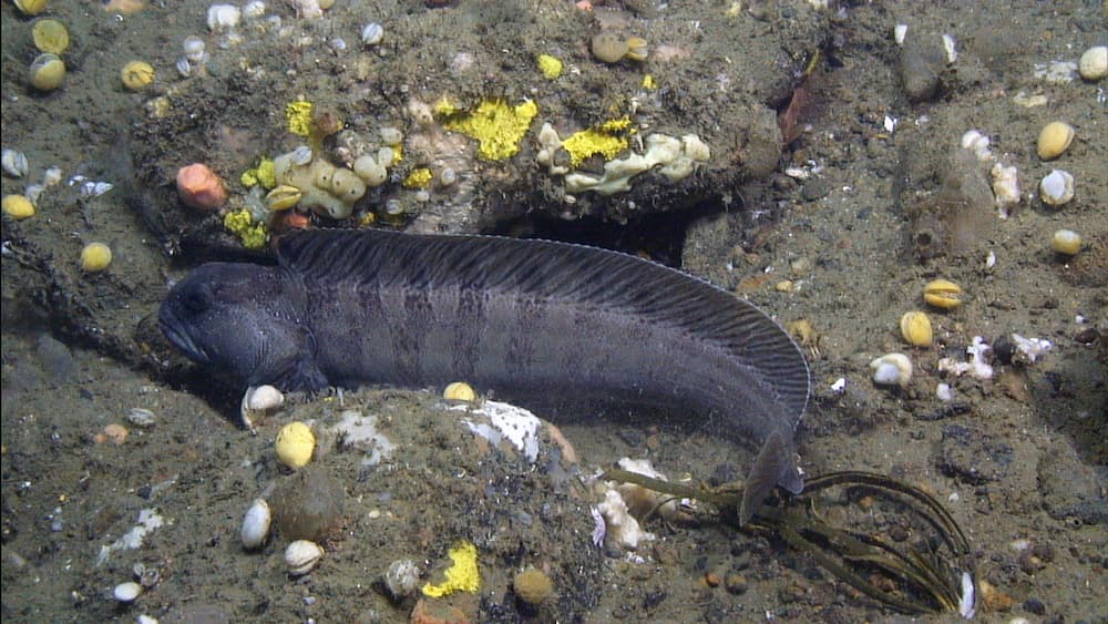
Created during the last Great Ice Age, Stellwagen Bank and the seafloor around it have a relatively short geological history of approximately 25,000 years. However, the present-day bank sits over a complex layered seabed. The sanctuary's seafloor includes examples of many of the Gulf of Maine's seafloor habitats, including mud basins, coarse to fine sand, shell hash between sand waves, gravel fields, boulder reefs, and granite rock ledges.
Gouge marks on the seafloor in the northeastern part of the sanctuary provide evidence of southwestward moving icebergs that broke off from the last glacial ice sheet as it retreated. The kidney-shaped Stellwagen Bank, created by the retreating glacier, overlies a granite bedrock base and consists of glacial deposits scraped up by the southward moving ice and then dropped when the ice melted. The shape of the bank closely resembles Lower Cape Cod (outer cape), which was created by the same forces.
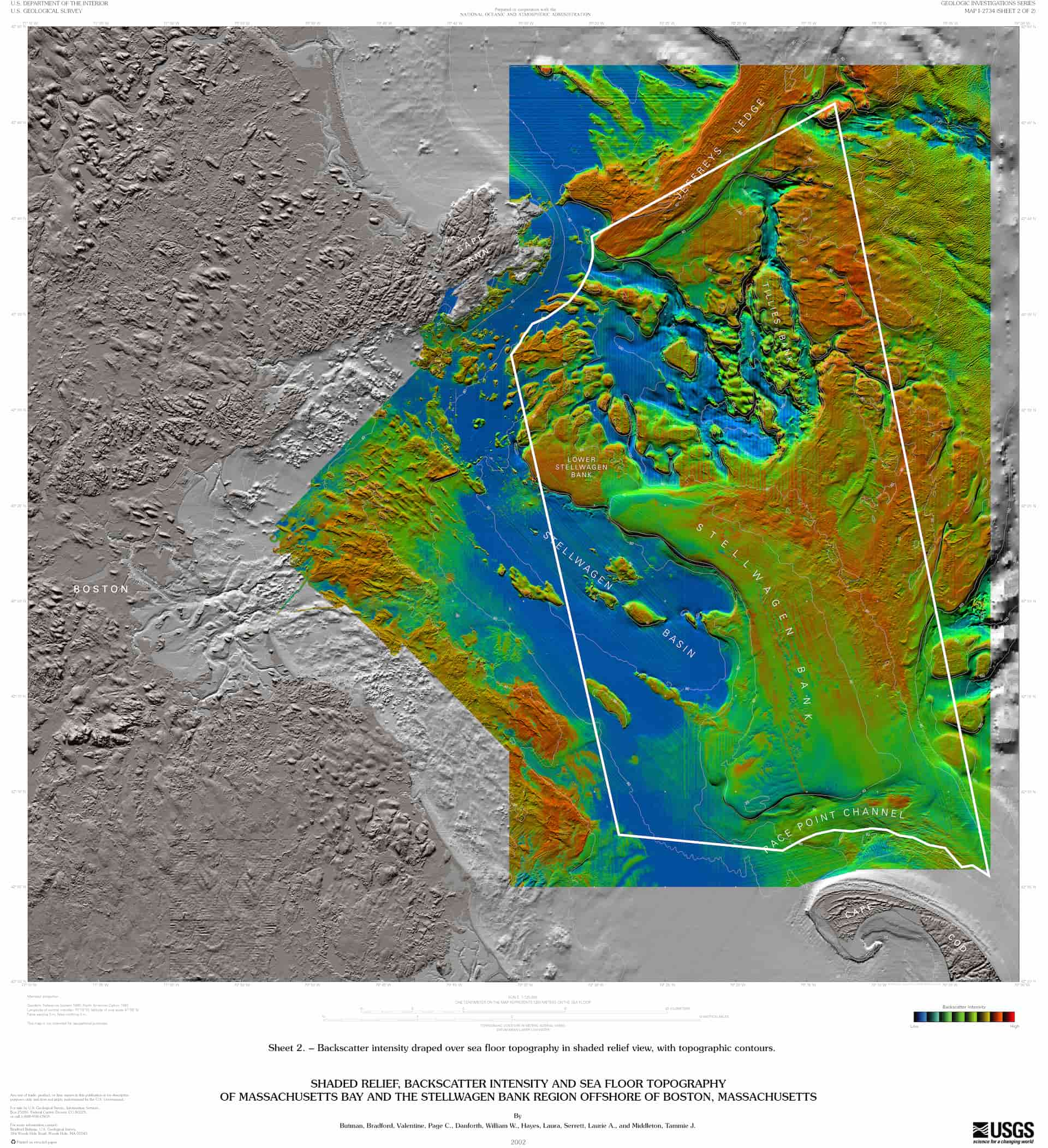
A multibeam mapping project by the U.S. Geological Survey (USGS) and NOAA during the 1990s produced detailed maps of the entire sanctuary. Backscatter readings and sediment grabs have characterized seafloor areas as mud (blue), sand (green), or gravel/hard bottom (red) that range from as shallow as 65 feet to as deep as 600 feet. USGS geologists have further identified a diverse array of habitats and their resident species through visual imaging and sampling. Seafloor features, previously unknown or unnamed, were given names on the new maps.