Maritime Archaeology
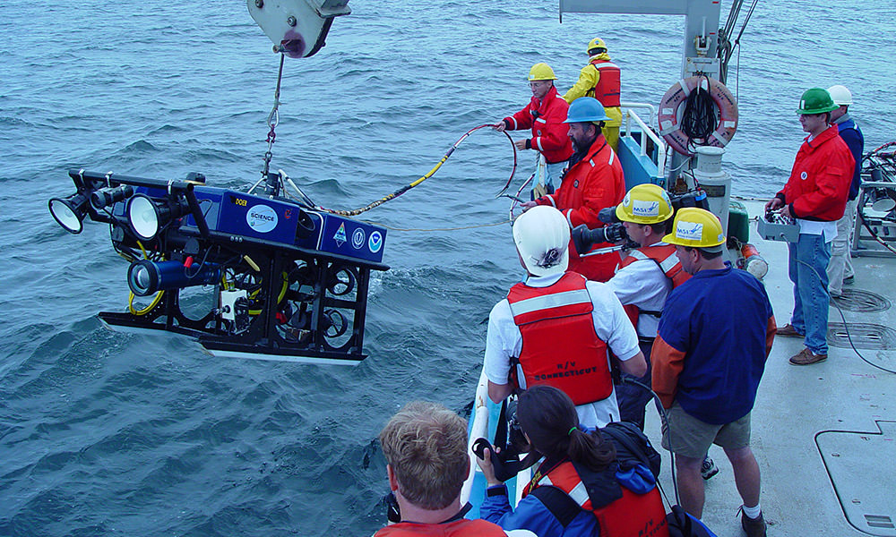
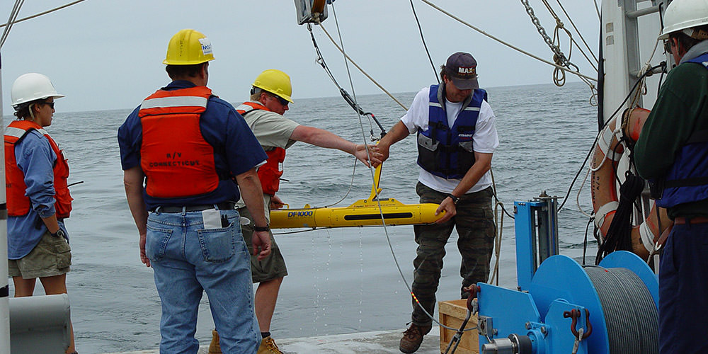
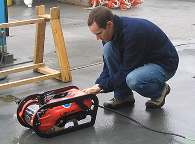
Researchers at Stellwagen Bank National Marine Sanctuary use a variety of tools and techniques to locate and document shipwreck sites. Since the sanctuary's seafloor lies at depths ranging from 65 to 600 feet, sophisticated equipment is often needed to conduct archaeological research. Team members have used scuba, side-scan sonar, remotely operated vehicles (ROVs), and autonomous underwater vehicles (AUVs). Through its partnerships, the sanctuary strives to use cutting-edge technology to bring New England's maritime history to life.
Side-scan sonar, called a towfish when it is towed behind the ship, registers sound that reflects off the bottom, and a computer on board the research vessel interprets that sound into a seafloor image. Side-scan sonar can only locate shipwrecks that protrude above the seafloor.
Another tool used to locate shipwrecks is a magnetometer. Magnetometers are also towed behind a research vessel. They detect variations in the Earth's magnetic field that may be caused by iron or other magnetic materials on or embedded in the seafloor. A magnetometer can detect shipwreck features such as anchors, cannons, and machinery, some of which may be buried in the sediments.
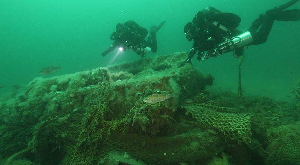
Once a shipwreck is located, it is time to get in the water. Sanctuary researchers use scuba diving equipment to slip below the ocean's surface and examine the shipwrecks first hand. Scuba gear, and especially drysuits, allow researchers to comfortably breathe and stay warm in the cold New England water. Archaeological divers carry measuring tapes, slates, and pencils to create scaled drawings of the shipwrecks. The scaled drawings are analyzed and compared to information in the historical record that might reveal when the ship was in service and what kind of vessel it was. Divers also use video and still photography to document sites.
Shipwrecks in deeper sections of the sanctuary are explored with remotely operated vehicles (ROVs). ROVs are tethered robots that "fly" through the water, allowing sanctuary scientists to spend hours gathering archaeological data without being limited by the cold water, air supply, and depths. Equipped with lights and video cameras, ROVs are launched and controlled from a research vessel positioned above the shipwreck. Archaeologists study the video transmitted through the tether to determine the age, characteristics, and possible identity of the shipwreck. The sanctuary conducts periodic ROV cruises, often in partnership with other institutions.
Projects Archive
View past maritime heritage research and monitoring projects.