2011 Maritime Heritage Characterization and Monitoring Project
Throughout 2011, archaeologists conducted side scan sonar operations, remotely operated vehicle surveys, and SCUBA diving investigations as part of the sanctuary's maritime heritage characterization and monitoring program. Fieldwork goals focused on locating and documenting new shipwrecks and monitoring previously investigated shipwrecks for site changes.
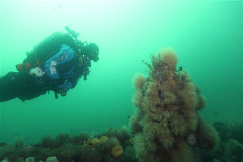
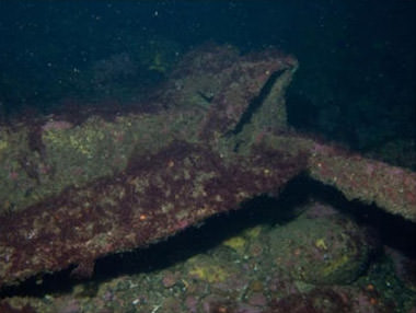
Side scan sonar survey revealed a sonar target on Stellwagen Bank north of the shipping lanes. Follow up ROV and diving investigations characterized the sonar target as a wooden hulled shipwreck that carried a clam dredge. Historically reported losses in the area identified a single likely candidate, the F/V North Star. Comparison between fieldwork data and archival information left no doubt that the shipwreck was the North Star, which capsized in 2003 while hoisting its clam dredge aboard. The 55-foot long wooden-hulled eastern rig vessel was built in 1967 in Portland, Maine. Sanctuary staff determined that the site was a modern shipwreck and implemented Objective MH.6 of the sanctuary's management plan, releasing its location to the public as a recreational SCUBA diving destination.
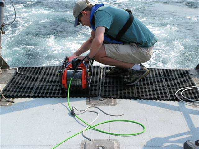
Archaeologists continued to investigate previously located sonar targets deeper than 130 feet with the sanctuary's ROV Henry. Several targets proved to be derelict fishing gear while others were shipwrecks, which were characterized as wooden-hulled engine-powered vessels. Further analysis of the ROV video will help determine the shipwreck's diagnostic features and possibly its identity through comparison to the historical record.
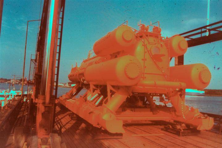
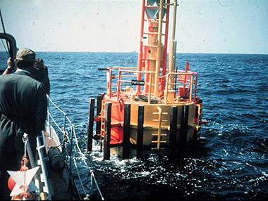
Sanctuary staff is also continuing to uncover the history of the Helgoland underwater habitat deployed on Jeffreys Ledge in the 1975. In 2010 divers located two large anchors believed to be associated with its operations. The habitat was placed on Jeffreys Ledge to learn about herring spawning. Helgoland's saturation diving operations also provided data that contributed to the development of NITROX breathing gas tables for scientific diving. Further research into the Helgoland project revealed that the anchors were used to secure the habitat's surface power and compressor buoy.
The maritime heritage activities described above seek to fulfill NOAA's National Historic Preservation Act mandates, which require federal agencies to inventory the historic properties under its jurisdiction, assess them for eligibility to the National Register of Historic Places, and nominate eligible sites to the National Register of Historic Places.